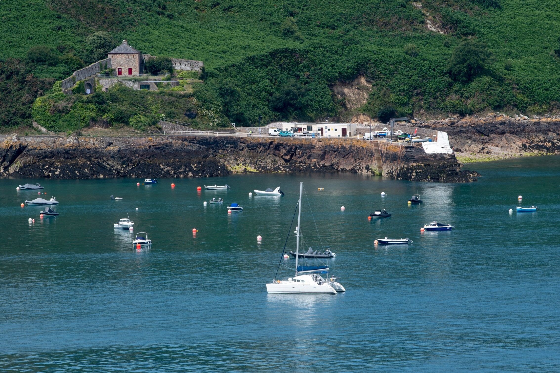
FOOTBALL isn’t coming home, except for those who support Spain, but what about summer – could it be coming home to Jersey after a drab start?
The tentative answer from Jersey Met is that the weather will be taking a turn for the better from today onwards, with the improved conditions set to last for a week, or maybe even longer.
“It looks a bit more like the sort of weather we might expect and hope for at this time of year,” said duty forecaster John Searson. “We are looking at a more settled period, with temperatures climbing during the weekend and up into the mid-20s by Sunday, Monday and Tuesday.”
Although thundery rain may dampen spirits for a spell on Tuesday, Mr Searson said the picture remained generally settled until at least Thursday. Beyond that, however, the forecast is less certain.
“There are varying computer models, some of which suggest a break in the weather, while others – perhaps a small majority – suggest it will remain settled for a longer period,” he said.
The latest long-range forecasts from the UK Met Office indicate drier and brighter weather than in recent days will be seen in the south and east of the UK during the ten-day period starting on Monday, including “the chance of some very warm conditions at times”.
UK forecasters have also expressed tentative optimism for the two-week spell starting on 8 August – which happens to be the eve of this year’s Battle of Flowers in Jersey.
The UK Met Office said the south-east was likely to be the driest part of the country during this period, with warmer than average conditions more probable, perhaps with some short-lived hot spells.
Since the official start of meteorological summer at the beginning of last month, Jersey has experienced temperatures below the average for the time of year: June saw an average of 16.2°C, 0.1°C lower than the figure for 1991-2020, while thus far in July an average figure of 17.4°C has been recorded, almost a full degree below the 30-year figure of 18.3°C.
Up to 10am yesterday, July had already been around 20% wetter than normal, with 54.7 millimetres of rain recorded, compared with the 30-year average for the whole month of 45.3mm.