A WIND warning has been issued for Jersey – and the UK Met Office says the unsettled conditions could last the whole of March.
The orange-level alert, issued by Jersey Met, states that gale-force-eight winds will affect the Channel Islands area during Monday.
The winds in Jersey are expected to peak at strong-force-seven with gusts to 45mph.
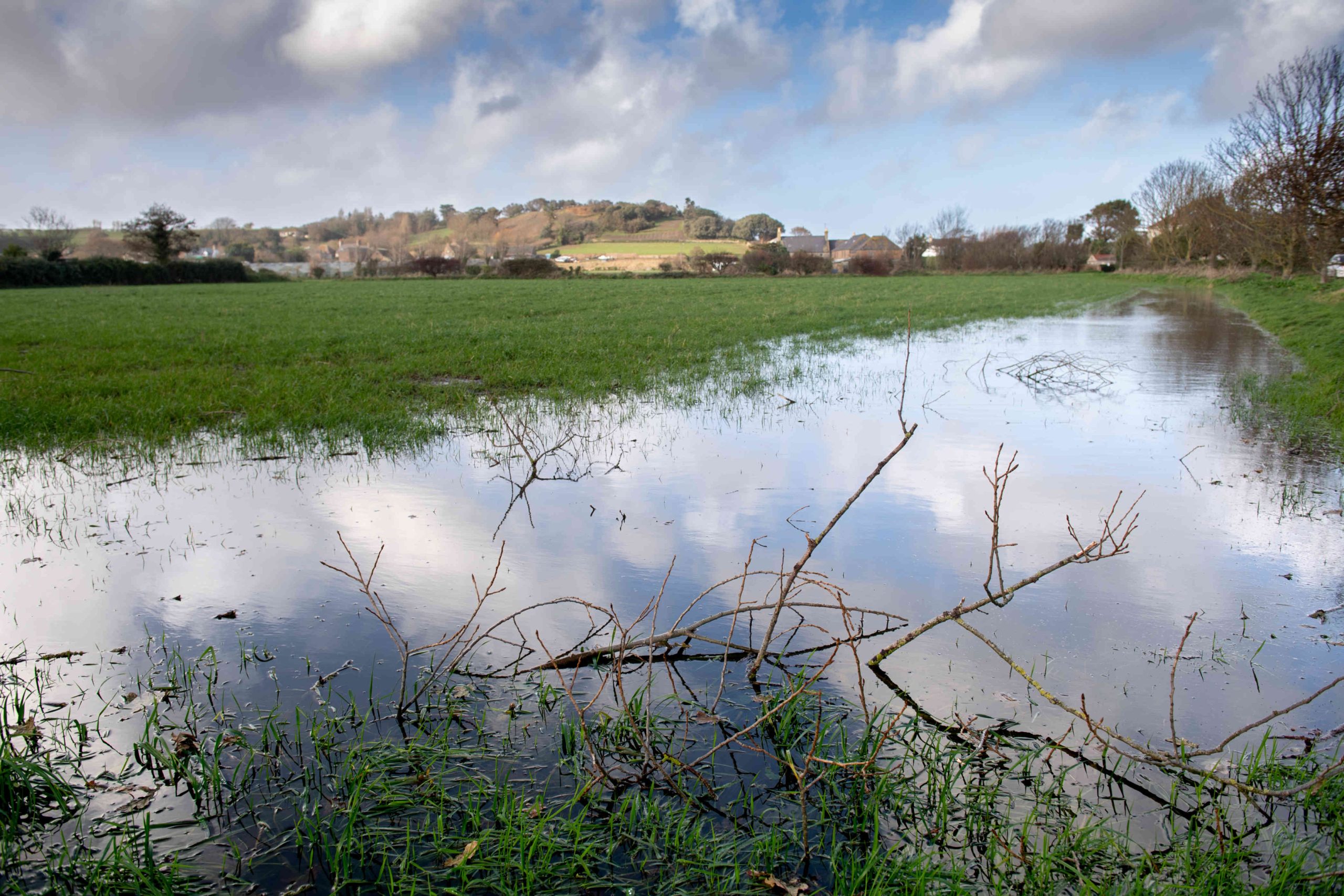
Showers, with the risk of hail and thunder, are forecast for Tuesday, before drier conditions become established by Wednesday and are expected to last until the weekend, when more wet and windy weather is set to return.
The changeable conditions follow the dullest February for 27 years, when Jersey recorded nearly twice the rainfall usually seen during the month.
And although the period of meteorological spring began on 1 March, there are currently few signs of any significant improvement in the weather.
The UK Met Office, which issues long-range forecasts on its website, says that the generally unsettled conditions are expected to last throughout March, especially in southern areas of the British Isles.
For the forecast period 8 to 17 March, it states: “A largely dry start to this period with variable cloud and just a few light showers, sunniest in the west.
“However, while such conditions will be maintained across the north, there is an increasing chance of more unsettled weather returning from the south or southwest during the first weekend, with spells of rain moving north and tending to weaken as they do so.
“This sets the broad pattern for the subsequent week, with periods or rain or showers in the south accompanied by strong winds at times, and brighter but occasionally showery conditions across the north. Temperatures are most likely to be close to normal, but perhaps mild at times in the south and, especially early on, locally rather cold in the north.”
For the period 18 March to 1 April, it states: “During the second half of March, pressure is likely to remain higher than average to the north or northwest of the UK, which would push the focus of unsettled weather further south than usual (especially early in this period), although there are signs that changeable weather patterns may return more widely later in the month.
“The greatest build-up of rain is therefore most likely to be in the south, with northern areas rather drier compared with normal.
“Temperatures will probably be near average overall, with some colder interludes most likely in the north and east.”