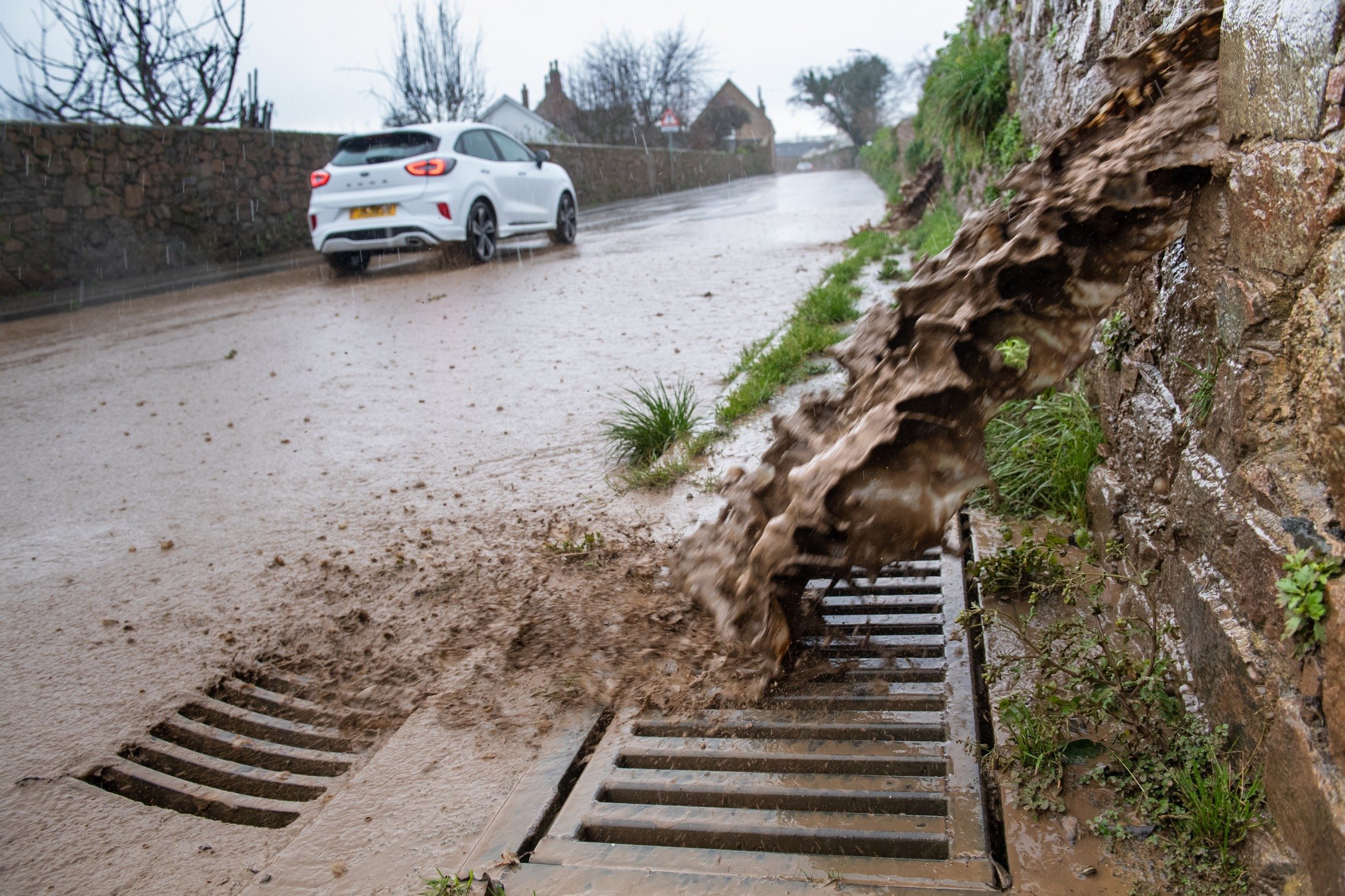
A NEW thunderstorm warning has been issued by Jersey Met as the Island faces days of severe weather.
The yellow-level warning states that isolated thunderstorms will be “very near or over the Island during Friday”.
Thunderstorm warning for Jersey valid from 06:30 Friday 23 Feb 2024 for 12 hours. pic.twitter.com/rfIMG8Bhn7
— CI Weather Warnings (@Jersey_MetCI) February 23, 2024
Further heavy and thundery showers are expected on Saturday, before more prolonged heavy rain moves in on Sunday.
And the Island could be hit by severe-gale-force-nine north-easterly winds on Monday as an intense area of low pressure moves in from the Atlantic.
The UK Met Office says the British Isles is expected to see more unsettled conditions for the next few weeks.
For the forecast period 27 February to 7 March, it states: “A dry start to this period is most likely in the south of the UK, with some night-time frost and perhaps patchy fog, but rain will already by making its way into northern parts of the UK on Tuesday, spreading south.
“This sets the scene for a generally unsettled pattern that is likely to continue through to early March.
“Spells of rain are expected across all areas at times, wettest overall in the west and northwest, where it will also sometimes be windy.
“Temperatures are most likely to be around or a little above average, though some short-lived colder interludes that would allow sleet or snow to fall to lower levels are possible at times, these more likely in the north.”