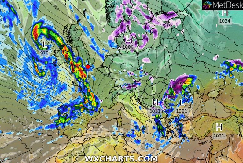
A WARNING has been issued for severe-gale-force-nine winds and possible coastal flooding.
Jersey Met’s orange wind warning – the second-highest level of alert – states that winds are expected to hit gale-force-eight before increasing later in the day.
Wind Warning 63/11 issued 03:11 UTC Monday 21 November 2022 pic.twitter.com/duXO1YCYsb
— CI Weather Warnings (@Jersey_MetCI) November 21, 2022
The warning covers an area stretching from the north Brittany coast to just north of Alderney.
Winds are expected to range between strong-force-six and severe-gale-force-nine in Jersey, with gusts to 65mph by Tuesday morning.
An orange tide warning has also been issued for Tuesday’s high tide at 4.52am. The warning states that water and debris may be sent over the sea walls along the south coast and that some flooding may occur.
Tide Warning for Jersey issued 10:45 Monday 21 November 2022 pic.twitter.com/MjYqqoVyKh
— CI Weather Warnings (@Jersey_MetCI) November 21, 2022
Further spells of wet and windy weather are expected during the rest of the week.
And the UK Met Office, which issues long-range forecasts on its website, says the unsettled conditions are likely to last into at least the first week of December.
For the period 25 November to 4 December, it states: ‘This period is likely to remain mainly unsettled throughout [for the British Isles].
‘Friday probably characterised by showers and sunny intervals, also windy with gales possible around coasts and hills.
‘Perhaps more continuous and heavy rainfall moving in from the west over Friday night and into Saturday.
‘Into the weekend, unsettled conditions remain expected, with showers and longer periods of rain possible, especially in the west.
‘A chance of strong winds and gales continuing. At the end of November and into the start of December conditions are likely to stay changeable, with periods of rain and strong winds.
‘Western areas are likely to see the most of any heavier and persistent rainfall, with eastern areas starting to see longer periods of dry weather developing. Temperatures likely at or slightly above the seasonal average.’