SOME forecasters in Europe are predicting that a plume of Saharan dust could spread north over Spain, France and the Channel Islands this week.
We are also in line for some unseasonably warm weather – with temperatures rising to 20°C or 21°C.
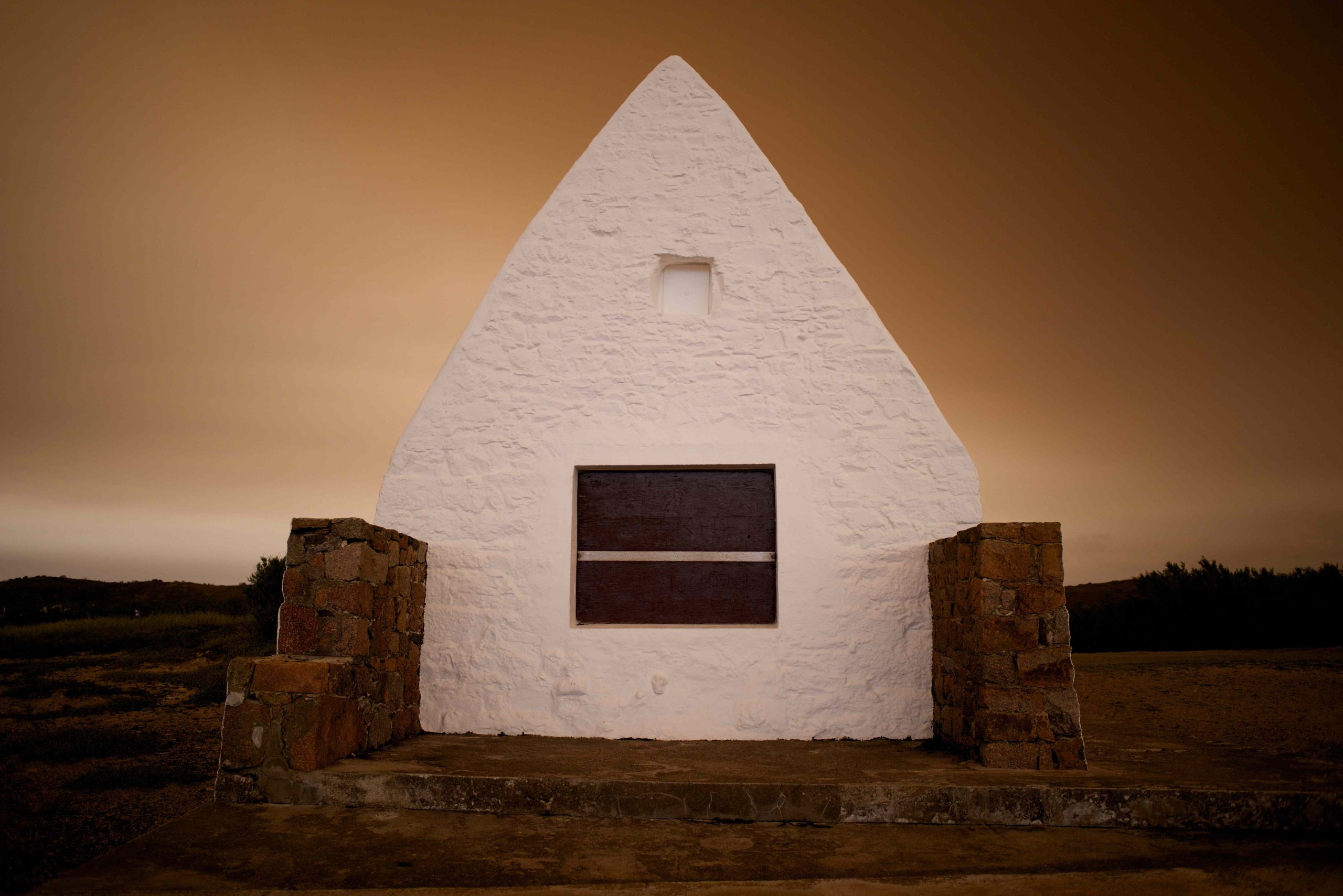
The forecasters say that skies across western Europe could be ‘tinted’ by the dust. But it probably won’t be quite as spectacular as the very weird events of 16 October 2017 – a day when you almost certainly took a picture of the sky.
As Islanders woke that morning, there was a strange orange-brown tint in the sky – almost as if we were stuck inside a sepia photograph.

The phenomenon was caused by Storm Ophelia – a very deep area of low pressure which tracked north-west over Ireland.

In terms of weather, it had very little impact on Jersey – it brought no rain and no gales. But it did scoop up a tremendous amount of Saharan dust and wildfire smoke – so much so that for many hours our skies turned a very weird colour.

The storm’s other point of interest was that it was the easternmost Atlantic hurricane on record.

In other words, it sustained hurricane status longer than any other before weakening to become an extratropical storm as it moved closer to Britain.