IT is said that a picture paints a thousand words and looking at an image in the JEP on Saturday it was clearly so in this case.
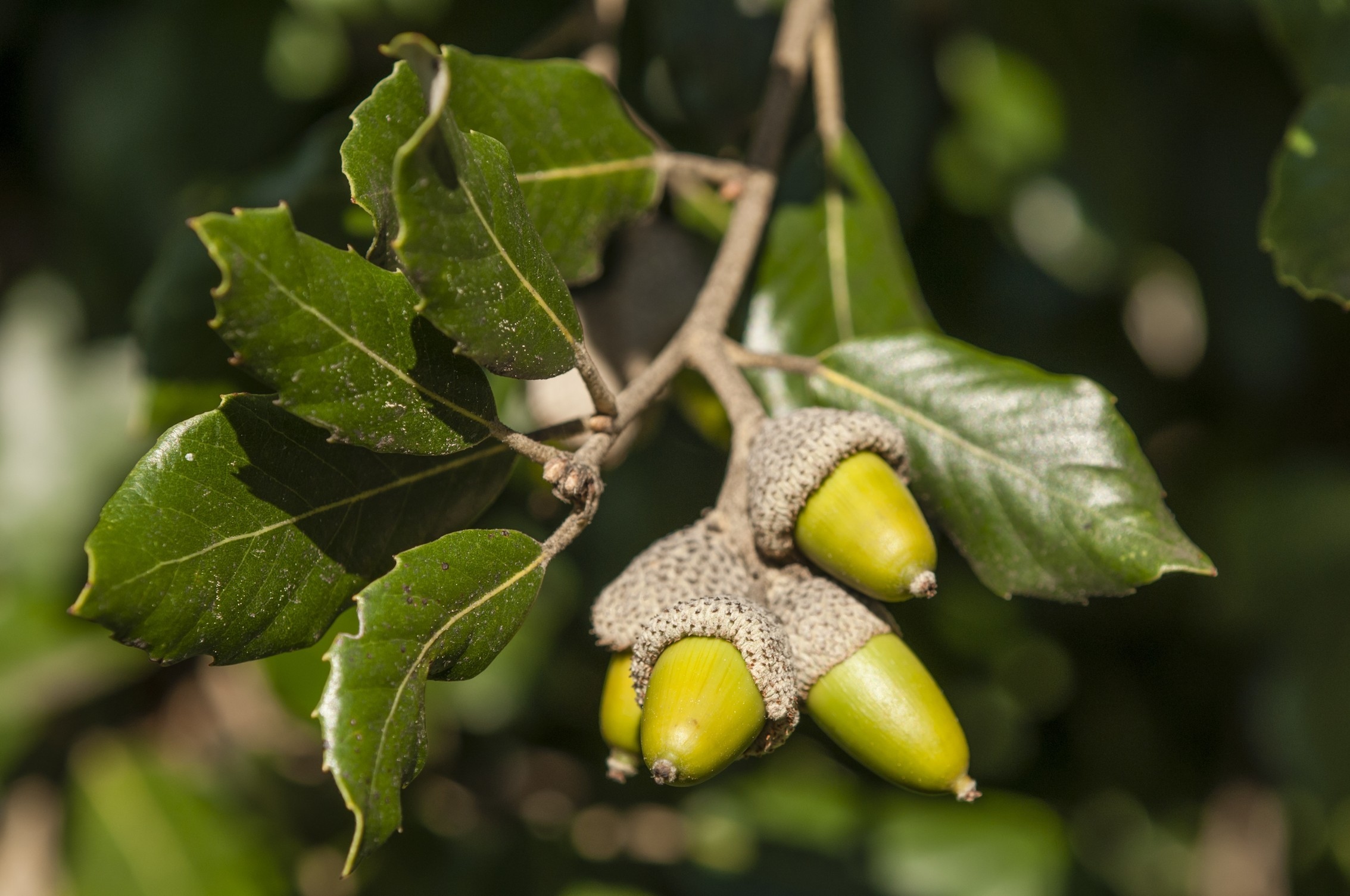
It was of tree clearance at Portelet Bay below the infamous collection of white blots on the landscape with the reason being that a number of trees had begun to lean over the cliff face. There were three words that ended this sentence which proved that words can convey meaning that an image cannot, they were ‘onto the beach’.
The sentence that followed, according to the JEP, was that the landowners were doing a branchage as a number of trees had been in danger of falling. Excuse my ignorance but I thought that branchage took place twice a year in June and September and that was for the purpose of keeping the highways and footpaths free of obstruction?
It does appear that the trees in question are holm oaks which, though not a true native species, do provide protection from the dominant winds and help stabilise the thin soils. Did I mention that by removing these dangerous trees from half of the slope there is now a much-improved sea view when looking from the blots? Sadly, there was no mention of a tree-planting scheme away from the cliff edge so one can only wait for the news that the slope itself has become destabilised due to there being no tree roots to retain it and work will then be needed to build a retaining wall to stop soil loss.
This tree clearance is one of a number I have either seen for myself or heard of in the past couple of weeks and highlights the need for strong legislation regarding the planting, maintaining and clearance of trees.
Though it is not yet common knowledge there is a Jersey tree strategy being developed which is now in draft form that I hope will, when implemented, go some way toward protecting the Island’s trees.
Limpets
Often the most common species found in a habitat are overlooked as being mundane be they house sparrow, nettle or limpet. Standing on the edge of a gully at La Coupe this week waiting for the tide to recede I got to thinking about the limpet and its surprisingly and amazing life.
Blessed with a high rise and fall of tides around the Island means that a number of different species of this mollusc become exposed in the rock pools and reefs. They are to an extent responsible for the appearance of our rocky seashores because like their terrestrial relatives, the slug and snail, they are grazers.
The effect they have on the marine environment was first brought home to me back in 1967 when the Torrey Canyon ran aground on the Seven Stones reef that lies between Land’s End and the Scilly Isles. As a result of the oil pollution and the chemicals used to rid the coastal zone of it there was almost complete eradication of intertidal marine life, including the limpet.
The outcome was that as the coastal strip began to recover the reefs became coated in small algae because there were no limpets to graze it.
My personal claim to fame regarding this wreck is that while fishing for crayfish around the Scilly Isles on a very hot day years later the crew and I went for a swim over the top of it. I digress!
Back with the limpets. There are five species commonly or frequently found in our intertidal zones the most common of which are the common limpet (Patella vulgaris) and the black-footed limpet (Patella depressa). Even here climate change is having an effect as the common limpet, being a cold-water species, is receding north while the black-footed, being a warm water species, is increasing in numbers.
Sexing limpets is a challenge but at present it is believed that the common starts off life as male and transitions to female whereas the black-footed remain either male or female. When young they tend to stay in locations that remain wet but move out and up as they age. As they mature, they establish what are known as home scars which are created by them rotating on a rock surface grinding it away and growing the shape of the shell to match the rock profile creating a very good seal. They graze the rock using a radula which is a specialised toothed tongue.
Limpet teeth are one of the hardest-known substances in the animal world and on soft strata such as chalk can erode surfaces up to 0.5mm a year. When foraging they move from their home scrape leaving a slime trail much like land snails do and having fed return along the trail to their scare.
I think of limpets as the wildebeest of the seashore as they have a wide and surprising range of predators. Top of this list has to be the brown rat (Rattus norvegicus) that frequently forages along the seashore at night for these delicious molluscs.
At the other end of the scale is the dog whelk (Nucella lapillus) which actively searches them out and then climbs up onto the shell and bores a hole in it before injecting an enzyme that liquefies the contents which it then sucks out. Ummmm, nice.
Exploring at La Coupe
With the tide ebbed we were able to gain access to the gully we wanted to reach and explore. It lies on the far north-eastern corner of La Coupe headland and only uncovers on very low spring tides, which usually means that any surveying undertaken falls in deepest mid-winter with corresponding strong winds and low temperatures. No change there then, as we splashed our way through it to run checks on the archaeological and geological features contained within it.
During one such survey two years ago, we discovered that the localised conglomerate reef is underscored by a different rock. Chocolate red-brown in colour it was clearly of sedimentary origin, and we had to refer to a highly experienced geologist to find out what it was.
It turned out to be a red mudstone that is recorded in a narrow circular bed between Brittany, Normandy, Alderney and Jersey. Here it is only recorded in the La Solitude Farm, Rozel and La Coupe areas. It was formed in the Cambrian age 560-500 million years ago as ‘playa’ lake deposits that were then covered by coarse debris deposits that formed the Rozel conglomerates. We had Hervé Duval, the resident Société Jersiaise archaeologist, with us and we discussed potential ways to accurately GPS record the stones that we believe to be those of a lost dolmen that lay in the gully.
Unfortunately, 2022 does not now offer more than two days of tides in which to start so work may have to wait yet another year when it is hoped we will have sufficient assistance to complete this phase.
On the way out we met a low-water fisherman who showed us a common topknot (Zeugopterus punctatus). This is a small species of left-eyed flatfish that is only found in stony habitat and relies on camouflage to avoid predators. An interesting end to a rewarding afternoon.