HM Receiver General Alan Blair, who has responsibility for the Crown-owned Gigoulande Mill, explained that, if approved, the project could lead to the route being around two-thirds complete.
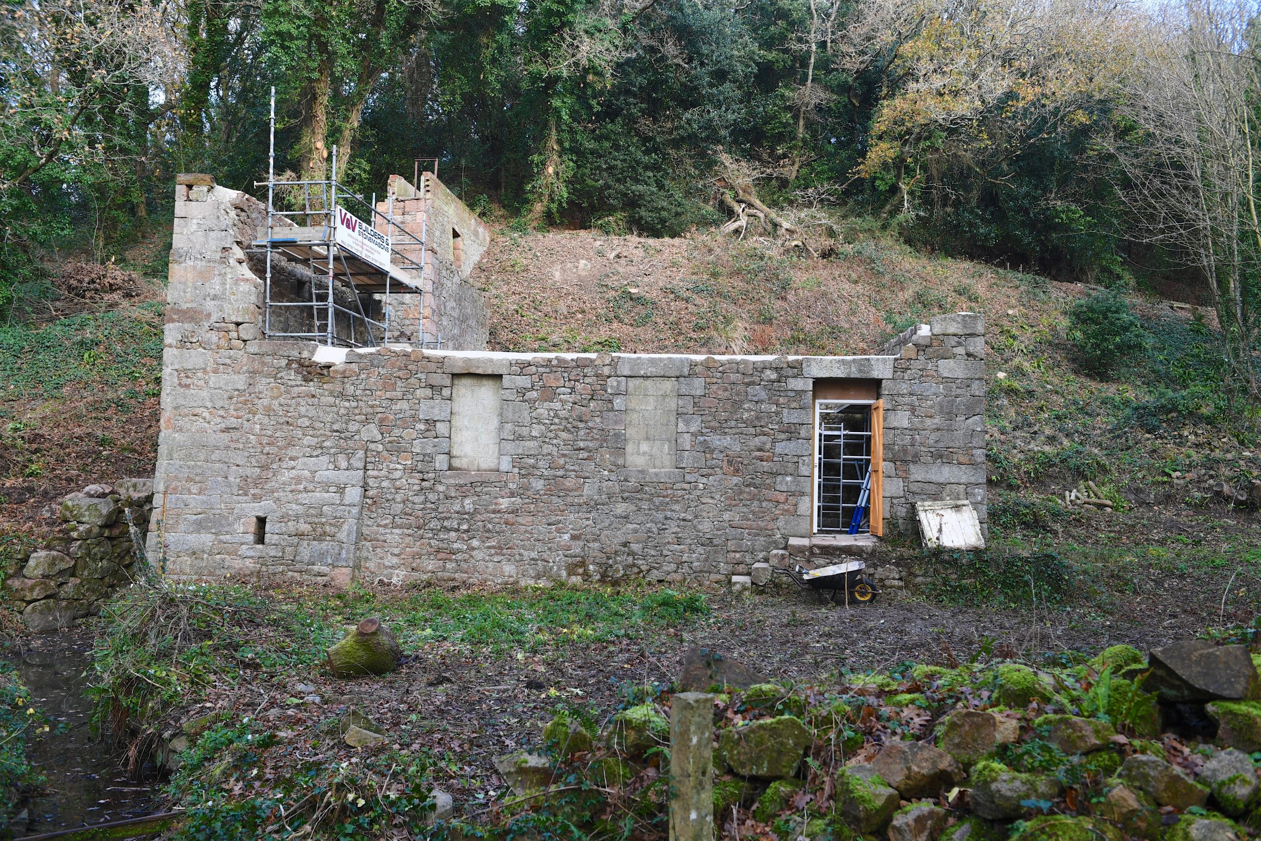
The historic site, which dates back to 1247, contains one of nine royal water mills where tenants of Crown-owned land used to take corn for grinding. It is a rare example of a ‘double overshot’ mill where water drives an upper wheel before flowing further down to another wheel.
Part of the building was adapted by the Germans during the Occupation to generate electricity. But it was partially demolished after it began to be used to harbour escaped forced labourers.
Mr Blair said: ‘Ultimately the long-term objective is to link up the path which starts near Sandybrook, through St Peter’s Valley and through Gigoulande heading north. It could be about six miles end to end – that is the goal. This is just a small part of that – to create a pathway through Crown land.
‘We have had all the environmental assessments done and it is a very low-impact scheme. It will cross over a stream which is constantly flowing – hence the reason the mill was put there – but it is about four to five feet across, so we are planning to put a small bridge in similar to those installed elsewhere around the Island.
‘There are many properties involved but if we can get our next planning application [which has just been lodged] through for the path to the north of the Crown land, then it would be about two-thirds completed after that.’
Mr Blair said he hoped that the path would be completed within the ‘next few years’.