A new tool will allow emergency workers to pinpoint the location of incidents across the UK using nicknames and colloquial names, Ordnance Survey (OS) has announced.
The Vernacular Names Tool already contains the nicknames of more than 9,000 locations and the OS has asked more blue light workers to input nicknames from where they live.
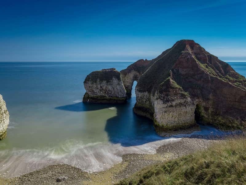
Locations on the list already include Jabba the Hut, a distinctive beach hut in Mablethorpe in Lincolnshire, and the Drinking Dinosaur, a rock formation at Flamborough Head in East Yorkshire which resembles a long-necked dinosaur drinking from the sea.
It is a replacement for Fintan, a mapping tool created more than 10 years ago for HM Coastguard.
The original tool allowed users to upload the local name or nickname for a coastal feature to the database, alongside the accurate location or its existing geographic name.
The Welsh Ambulance Service is a new user of the vernacular tool. Chris Jones, an emergency medical service administrator, said it is “really useful and very easy to use”.
He continued: “We want to log as many vernacular names as we can so are exploring how the control room can do that now as well as starting to include this in control room induction training.
“The real value longer term will be ensuring that our ambulances will be able to get to the scene of an incident effectively with an accurate location provided by OS, no matter how it’s identified by a caller.”
A coastguard rescue team used the original Fintan tool to find a spot on a beach known colloquially as the Tiki Head in Gwynedd in Wales where a caller had fallen and injured their leg.
Another incident saw a coastguard search and rescue helicopter locate a missing person, using the nickname the Fun Ship, which refers to a spot at Mostyn Docks on the River Dee.
During a recent visit to OS headquarters in Southampton, the Princess Royal added a new colloquial name of her own to the database, “the wedding cake”, which is an alternative name for the Queen Victoria Memorial opposite Buckingham Palace.
Chief coastguard Peter Mizer said the tool is an “incredibly useful resource”, and added: “It has allowed local knowledge to be shared across our operational network and there are examples where its use has improved the tasking of critical rescue assets.
“We are very proud to have played a significant role in its development and we are pleased to see it being made available to colleagues in other emergency services today.”
The information from the tool will help to power the recently launched OS emergency services gazetteer – a maintained database of 1.3 million features across the UK, including roundabouts, hills and cliffs.
It is designed to equip responders with the precise location information needed to act quickly during an emergency.
John Kimmance, managing director of OS national mapping services said: “Wherever we live, we all have nicknames for local places – and uploading these into a database really could mean the difference between life and death on an emergency call – particularly for services called from outside their regional areas.”