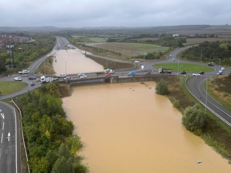
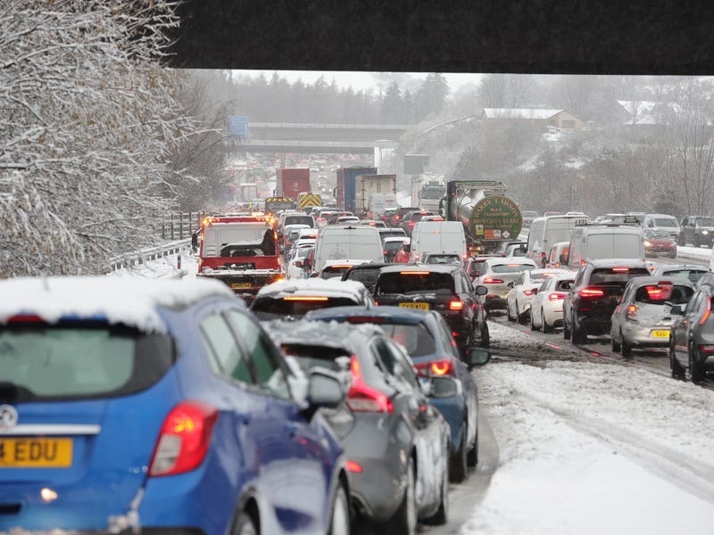
A yellow weather warning for more heavy rain has been issued for Thursday, as the UK recovers from flash flooding which saw homes damaged and travel disrupted.
Parts of the UK saw more than the monthly average rainfall on Monday, with the wettest place – South Newington in Oxfordshire – seeing 111.4mm, over twice the average amount, according to the Met Office.
Areas including Buckinghamshire, Northamptonshire and Warwickshire were among the worst hit and some roads were still closed and rail services disrupted on Tuesday morning.

National Highways said it expected the A421 in Bedfordshire to remain closed on Tuesday in both directions between the A6 Bedford and M1 J13 near Marston Moretaine because of severe flooding, and that it “cannot provide a timeline for the road to reopen”.
The northbound A5 between the A421 in Bletchley and Great Holm at Milton Keynes was closed by rising water levels on Tuesday morning after one lane had been opened overnight.
Chiltern Railways said trains between Banbury and Bicester North were running at reduced speed on all lines.
A respite from the heavy rain is forecast for Tuesday and Wednesday but on Thursday a yellow warning – indicating heavy rain could cause some disruption – has been issued for the whole day covering much of the north east of England.

He said: “Through the week, temperatures will be feeling colder, temperatures in Scotland could stay in single figures.
“We could see air frost overnight tonight in some rural areas of southern Scotland.”
There will be some showers on Wednesday morning in southern England but the rest of the day will be “largely fine”, he added.
An area of low pressure will move in on Thursday and stall over north-east England, which is where the yellow weather warning has been issued.

But the area covered by the warning is different to those areas worst affected by the recent flooding, Mr Claydon said.
Temperatures are then expected to drop to below average on Friday across the UK.


