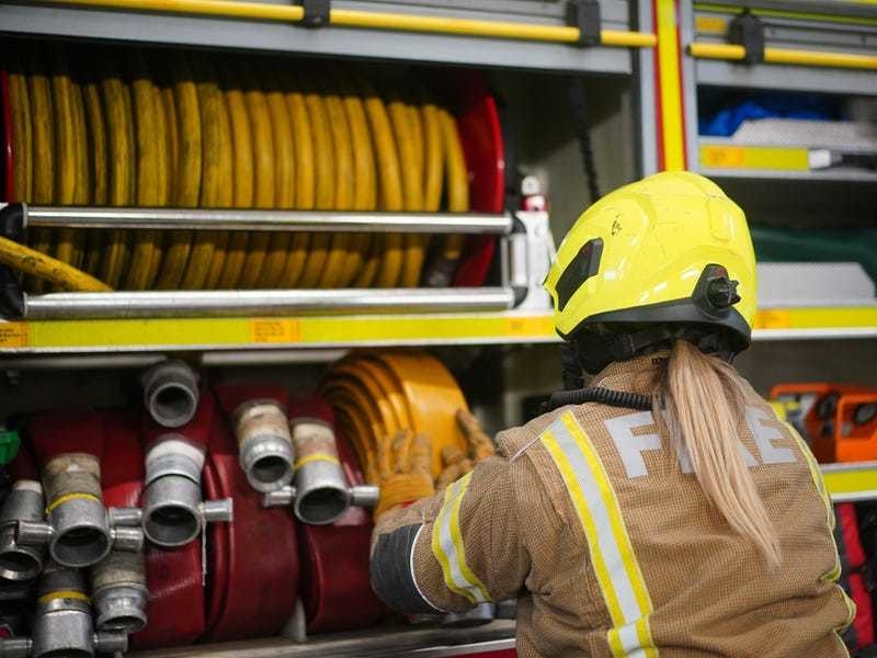
A further weather warning has been issued by the Met Office ahead of thunderstorms and heavy rain forecast for the weekend.
The forecaster warns that damage to buildings as a result of lightning strikes, disruption to public transport and flooding should be expected within the affected areas.
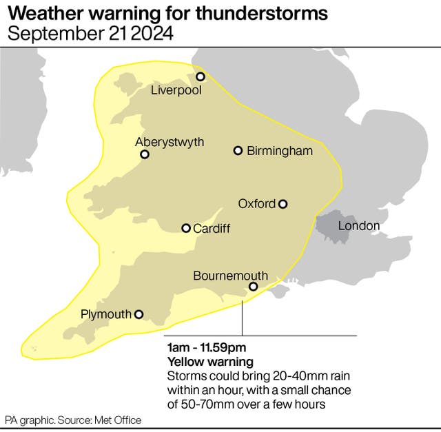
Friday’s alert for thunderstorms covers most of south-west England, parts of Wales, the Midlands and west London and is in place from 12 noon until 8pm.

The second warning for thunderstorms is in place all of Saturday from 1am until midnight on Sunday. It covers all of Wales and southwest England, the Midlands and parts of south-east England.
The stormy weather follows a warm, dry spell as temperatures reached 25C in Inverness on Wednesday while southeast England saw the same high on Thursday, according to the forecaster.
The Met Office’s chief meteorologist Jason Kelly said: “Thundery downpours have developed across parts of southern England, and will last into Friday evening, bringing frequent lightning, gusty winds, hail and spells of heavy rain.
“The risk of thunderstorms persists into the weekend with potentially longer spells of heavy rain for some along with a continued risk of hail and lightning accompanying the most intense storms.
“The warnings cover the areas of the country most at risk of seeing thunderstorms but not everyone within a warning area will experience a thunderstorm. For many much of the time it will remain dry.”