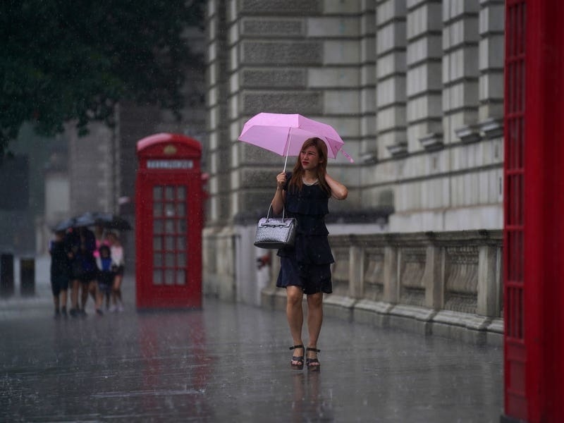
Thunderstorms and lightning are set to batter the UK with up to 70mm of rainfall expected within a few hours after a spell of dry, warm weather.
The Met Office has issued two yellow weather warnings for thunderstorms for Friday and Saturday, and said damage to buildings as a result of lightning strikes, disruption to public transport and flooding should be expected within the affected areas.
Friday’s alert covers most of south-west England, parts of Wales, the Midlands and west London and is in place from 12pm until 8pm.

⚠️ Yellow weather warning issued ⚠️
Thunderstorms across Wales plus central and southern parts of England
Saturday 0100 – 2359
Latest info ? https://t.co/QwDLMfS950
Stay #WeatherAware⚠️ pic.twitter.com/nShyX4gsz8
— Met Office (@metoffice) September 19, 2024
The weather service has warned that hail and frequent lightning could accompany the “thunderstorms and heavy showers” and that up to 70mm of rain could fall in the worst affected areas on Saturday.
The stormy weather follows a warm, dry spell as temperatures reached 25C in Inverness on Wednesday and highs of 26 are expected on Thursday, according to the forecaster.
Met Office meteorologist Dan Stroud said: “We are being spoiled by almost summer’s last hurrah, but there’s a bit of a change coming down the line as we move our way through towards Friday, and especially the weekend.”
As of September 17, the UK has seen an average 49.5mm of rainfall this month – which is typical for this time of year, Mr Stroud said.
“Successive bands of rain” and “normal conditions for autumn” are expected next week, he added.