THE prospect of greatly enhancing protections for Jersey’s marine environment came under fire at the start of 2022, when a bid to create a marine park covering more than a third of the Island’s waters – brought forward by Deputy Lyndon Farnham – was rejected during the Bridging Island Plan debate.
Politicians raised concerns over fisheries management and how such protections could potentially impact negotiations with the EU and France over fishing rights post-Brexit.
At the time, both the Blue Marine Foundation and the National Trust for Jersey branded the previous States Assembly’s decision as a “missed opportunity”, arguing that it went against the results of an independent survey carried out at their request.
The study saw 85% of 2,400 respondents agree that a marine park should be established to cover 30% of Jersey’s waters.
Jersey also last year joined an international “30 by 30” pledge, part of a global initiative to conserve 30% of the globe’s terrestrial and marine habitat and protect it from destructive practices by 2030.
Less than two years later, Environment Minister Jonathan Renouf’s proposed Marine Spatial Plan – currently the subject of a consultation – is attempting to put forward an “evidence-based” case to expand an existing network of Marine Protected Areas.
Currently, only around 6.5% of the Island’s territorial waters are designated as MPAs, which protects against potentially destructive fishing practices such as bottom trawling. However, the proposed areas included within the new plan would increase this figure to just over 27%.

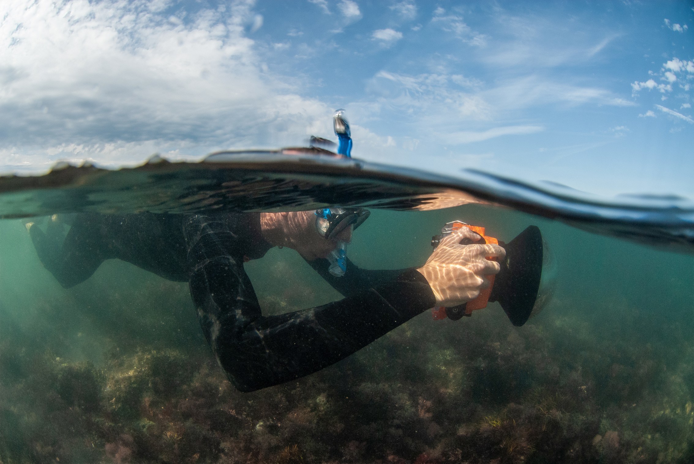
The document also includes research results regarding current fishing trends, as well as the rich diversity of habitats and sites of special interest found throughout the open sea and offshore reefs.
Deputy Renouf said the data was essentially providing an “evidence base” for expanding the MPAs, describing the proposal as “significant” in terms of marine protection.
He added: “Ultimately, this will go to the Assembly where it can be debated and open to amendment.
“We won’t get “30 by 30” with this alone, but it gets us pretty close and, crucially, these are not just paper designations – we are being very clear on the type of activities that will and won’t be allowed.”
Freddie Watson, Jersey project manager for the Blue Marine Foundation – which champions ocean conservation around the world and has been working with the government – has previously stated that the network of MPAs being developed “could well form the basis of a marine park”.
He said: “Jersey already has a small network of marine protected areas, covering 6.5% of our waters. It’s important to note that these areas don’t completely restrict fishing, they still allow for potting, netting, hook and line and hand-diving, all of which are known as ‘static’ forms of fishing and are considered sustainable forms of fishing if well managed.
“However, these protected areas do prohibit the use of ‘mobile’ fishing gears, otherwise known as trawling and dredging, which are far more damaging to marine habitats when compared to the static forms of fishing.” There are understood to be about half a dozen boats in the Jersey fishing fleet which dredge or trawl.
Commenting on the plan, he said: “This is arguably one of the most important votes for Jersey’s environment. The incredibly comprehensive evidence base informing the proposed Marine Protected Areas is hard to argue against. Jersey has recognised that the global biodiversity and climate crises will have an adverse impact on our Island, and the areas proposed for protection in the JMSP will play a key role in mitigating this.”
Mr Watson continued: “Jersey is at a crossroads in determining the fate of our seas. Real, large-scale and meaningful marine protection can be delivered that will have a benefit for everyone.
“The government’s marine spatial plan is a once-in-a-generation opportunity to protect our seas while supporting sustainable livelihoods and local economies, leading the way for marine conservation in Europe.”

Deputy Renouf acknowledged that discussions with France could once again play a factor, but stressed that the current proposal was “much more firmly evidence-based” than what had been brought forward previously.
He also said the Island was “in a very good place” in terms of enforcement, as current requirements around vessel tracking data would enable fisheries officers to spot any potential breaches.
Deputy Renouf explained: “We have very good data on where boats go and you can also tell by their tracks what type of activities they are engaged in.”
Islanders can read the draft Marine Spatial Plan – copies of which are also available in parish halls – and take part in the consultation via the gov.je website.
Deputy Renouf said: “Our marine environment needs to be more effectively managed to ensure current and future generations can fully benefit from it.
“The Marine Spatial Plan is in many ways the equivalent of the Island Plan, but for our territorial waters. It puts in place a policy framework for managing the marine environment and dealing with the inevitable conflicts that arise around different uses of the Island’s marine estate.
“I’m particularly pleased that we are bringing forward proposals to increase the area covered by Marine Protected Areas, but I recognise that we need to consult fully with those who are likely to be most affected by this move.
“We need Islanders help to ensure our priorities and policies are well considered, so I encourage everyone to take the opportunity to have a say in this consultation.”


