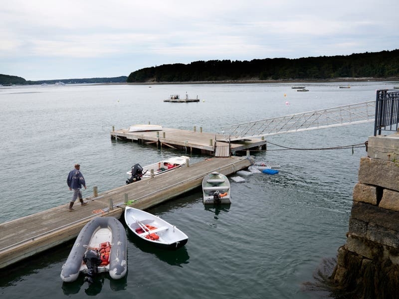
Storm Lee toppled trees and cut power to tens of thousands on Saturday as it began lashing New England and eastern Canada with high winds and torrential rains.
The storm, now a post-tropical cyclone, was expected to make landfall at or just below hurricane strength around the Maine-New Brunswick border Saturday afternoon, then turn to the north-east and move across Atlantic Canada on Saturday night and Sunday.
It flooded coastal roads in the Canadian province of Nova Scotia and inundated boats along the harbour in St Margarets Bay, fanning anxiety in a region still reeling from severe flooding this summer, said Pam Lovelace, a councillor in Halifax, the capital.
“People are exhausted… It’s so much in such a small time period,” Ms Lovelace said. “From a mental health perspective, we’re asking people to check in on their neighbours.”

But the entire region has experienced an especially wet summer — it ranked second in the number of rainy days in Portland, Maine — and Lee’s high winds toppled trees stressed by the rain-soaked ground in Maine, the nation’s most heavily wooded state.
“We have a long way to go, and we’re already seeing downed trees and power outages,” said Todd Foisy, a National Weather Service meteorologist.
The storm’s centre was just off the southern tip of Nova Scotia, about 105 miles (170km) south-east of Eastport, Maine, and about 150 miles (240km) south-west of Halifax, Nova, Scotia, the US National Hurricane Centre said at 11am EDT on Saturday.
It had maximum sustained winds of 75 mph (120 kph), just over hurricane strength, which is 74 mph (119 kph), and was moving north at a fast clip of near 22 mph (35 kph).
Hurricane-force winds extend as far as 140 miles (220km) from the centre, the National Hurricane Centre said.
Tropical-storm-force winds of at least 39 mph (62 kph) extend outward up to 390 miles (630km) — enough to cover all of Maine and much of Maritime Canada.
The storm was so big that it caused power outages several hundred miles from its centre. At midday on Saturday, at least 10% of electricity customers in Maine lacked power, along with 25% of Nova Scotia and 8% of New Brunswick.

In typical tropical cyclones, Ms Thunberg said, winds are concentrated around the eye. But Lee, a very large storm, has a wider wind field.
A tropical storm warning stretched from the New Hampshire-Maine border through Nova Scotia and Prince Edward Island to northern New Brunswick. A hurricane watch was in effect for New Brunswick and Nova Scotia.
Nova Scotia’s largest airport, Halifax Stanfield International, had no incoming or outgoing flights scheduled on Saturday.
Peak gusts are projected to be 70 mph (113 kph) on the coast in eastern Maine, but there will be gusts up to 50 mph (80 kph) across a swath more than 400 miles wide, from Maine’s Moosehead Lake eastward all the way into the ocean, Mr Foisy said.
11 am AST – #Lee very near western Nova Scotia. Strong winds, heavy rains, and coastal flooding occurring in portions of Maine and Atlantic Canada. Here are the Key Messages. https://t.co/tW4KeGe9uJ pic.twitter.com/ZQOnGUEGXd
— National Hurricane Center (@NHC_Atlantic) September 16, 2023
Cruise ships found refuge at berths in Portland, while lobstermen in Maine and elsewhere pulled their costly traps from the water and hauled their boats inland, leaving some harbours looking like ghost towns on Friday.
Lee already lashed the US Virgin Islands, the Bahamas and Bermuda before turning northward and heavy swells were likely to cause “life-threatening surf and rip current conditions” in the US and Canada, according to the hurricane centre.
Federal aid is headed to Massachusetts after President Joe Biden declared an emergency on Saturday.
Kyle Leavitt, director of the New Brunswick Emergency Management Organisation, urged residents to stay home, saying: “Nothing good can come from checking out the big waves and how strong the wind truly is.”


