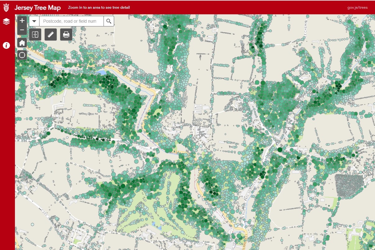
MORE than 650,000 trees can now be identified online through the new Jersey Tree Map, which details the Island’s rich natural history.
The interactive map has been created from aerial photographs and an LIDAR (Light Detection and Ranging) survey taken in 2021.
Trees and woodland, all over three metres tall, are documented on the map to provide a more accurate estimate of the Island’s greenery.
The map format allows viewers to click and zoom into specific areas, roads and individual trees showing calculated heights and a streetview option.
Environment Minister Jonathan Renouf said: ‘Trees are part of Jersey’s rich natural history, and they are a vital part of our environmental future, so it’s positive to see their wide distribution now compared with records from the middle of the last century.
‘Trees each have their individual unique value, but what this map shows is the broader Islandwide perspective and highlights, for example, their role as corridors for biodiversity.
‘The Jersey Tree Map reflects the efforts of many Islanders to plant, protect and nurture our trees, hedges and woodlands.
‘In our small island, trees, hedging and woodlands collectively provide our wildlife the habitat they require not only to survive, but the resources to thrive.
‘The map provides a benchmark against which we can measure how well we continue to protect and enhance Jersey’s natural heritage.’ To view the map, visit: gov.je/treemap.


