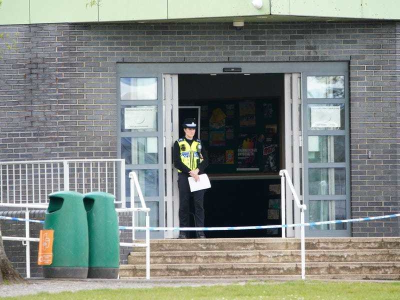
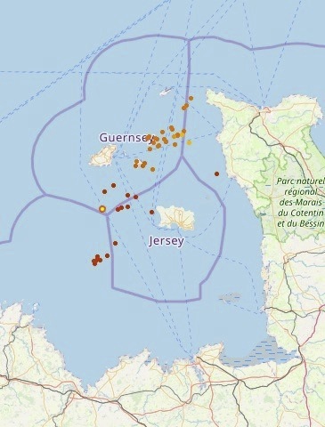
An orange warning – the second-highest level of alert – states that ‘scattered thunderstorms are expected to affect the Channel Isles area at times’.
The warning advises ‘caution’.
Wednesday is also expected to start wet, before sunny spells develop in the afternoon. The weather is then due to become more settled as pressure builds, before another low pressure moves in at some point on Sunday.
In its long-range forecast, the UK Met Office says that generally unsettled weather is likely to affect the British Isles next week.
In its forecast for 22 June to 1 July, it states: ‘Saturday should see a fair amount of settled and sunny weather as a ridge of high pressure builds across the south of the UK, with scattered showers becoming mostly confined to Scotland and Northern Ireland.
‘High pressure will give way to another Atlantic low pressure through Sunday and into the following week bringing changeable weather with bands of rain crossing most areas at times, but more especially affecting northern and western parts.
‘Towards the south and southeast it will most likely stay drier, and possibly become warm at times, but there is the risk of some thundery showers spreading in from the south. There are signs that high pressure may become more dominant by late-June, bringing a chance of settled and warm weather. Temperatures mostly near normal.’
FIVE-DAY FORECAST: CLICK HERE