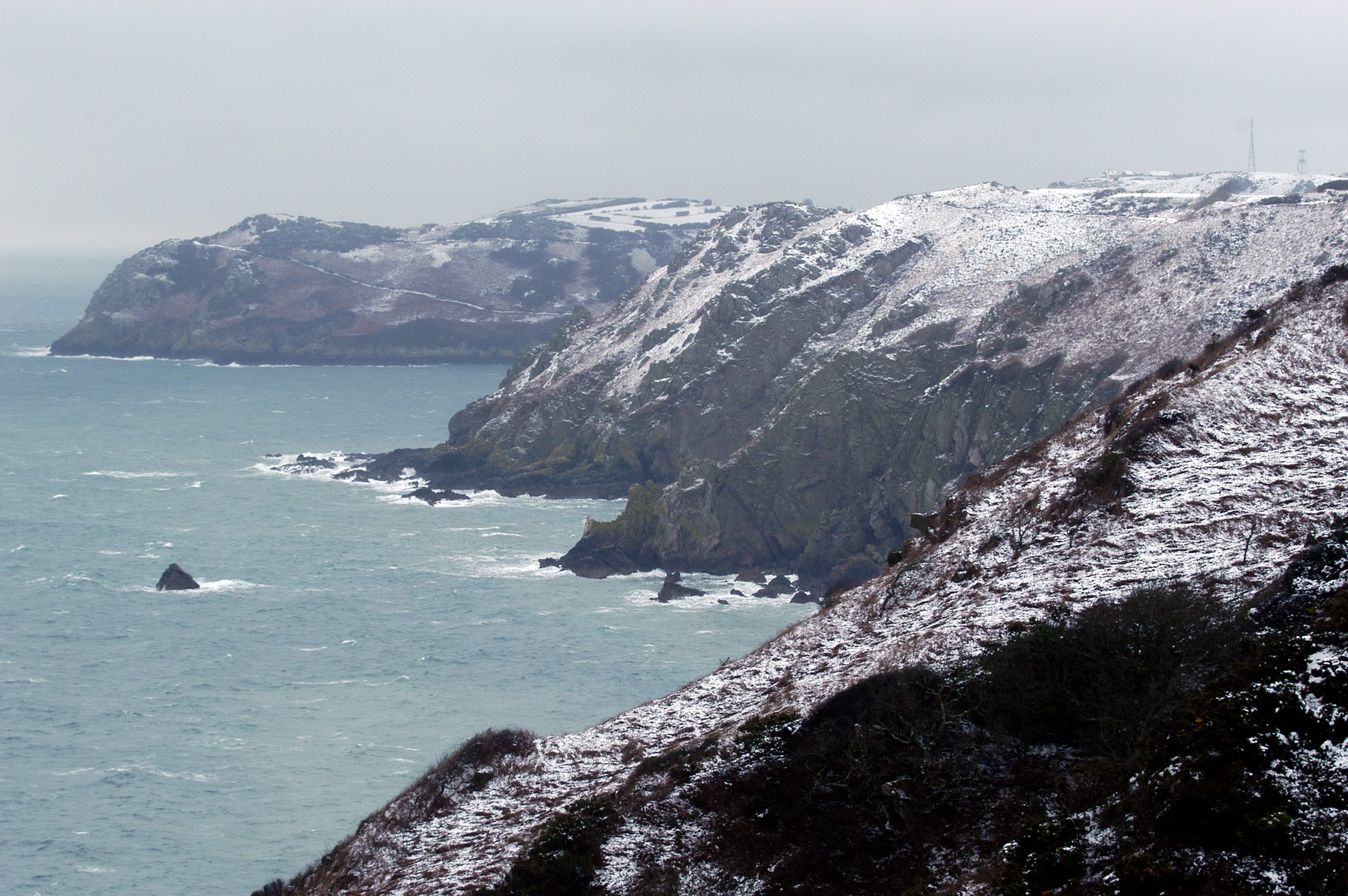
Arctic air is due to push down over the Channel Islands overnight on Thursday and send temperatures plummeting.
And sleet and snow showers are likely during Friday and Saturday – but no disruption is expected.
Jersey Met has issued a yellow warning – the lowest level of alert. The warning states: ‘A cold snap is expected on Friday and into Saturday with scattered sleet or snow showers and strong north-westerly winds.
‘Any accumulations of snow on high ground will be small, temporary and soon melt. Temperatures are unlikely to fall below zero and will rise on Sunday.’
Temperatures are expected to rise no higher than 7°C or 8°C on Friday and Saturday.
Jersey Met has also issued a yellow-level tide warning for the high tides at 8.30 pm on Wednesday and 8.46 am on Thursday.
It states: ‘Wind and wave conditions combined with high tides may cause spillage over sea walls with debris being thrown onto roads along Jersey’s south coast.’