Temperatures plunged to minus 15.7C in Aberdeenshire last night as the UK recorded its coldest night of the year so far.
The Met Office recorded the temperature at Braemar while other parts of the country also experienced icy cold conditions.
Bear South East Trunk Roads tweeted that a minus 11.3C road surface temperature and air temperatures of minus 14.7C were recorded on the A702.
A Met Office yellow weather warning of snow and ice for the north of Scotland is in force until midday on Monday while a warning of ice and fog in Dumfries and Galloway is valid until 11am.
? It’s been the coldest night of the year so far with temperatures in northern Scotland dipping below minus 15 Celsius pic.twitter.com/OMHrDaH8He
— Met Office (@metoffice) December 12, 2022
And yellow warnings of snow and ice have been issued for northern Scotland from midday on Tuesday until noon on Thursday.
Temperatures plunged below minus 10C in many parts of the country overnight on Sunday into Monday, dipping to minus 13.1C at Balmoral, minus 11.8C in Aviemore and minus 11.5C at Dalwhinnie, the Met Office said.
In Glasgow temperatures fell to minus 7.2C and to minus 6.7C in Edinburgh.
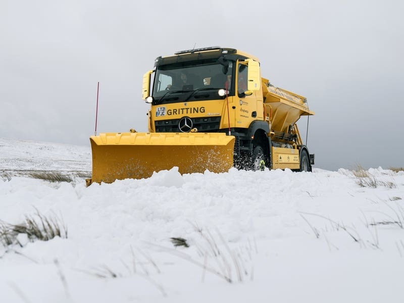
The weather caused disruption to travel on Monday and also led to school closures in the Highlands.
Traffic Scotland said that the snow gates at Cock Bridge and Tomintoul on the A939 remain closed and advised motorists to take care and drive to the conditions.

Network Rail Scotland later tweeted: “Our overhead line staff have now removed icicles from tunnels which were believed to be causing the failure. The line has now reopened.”
⌚06:43
SNOW GATES?️#A939 Cock Bridge#A939 Tomintoulsnow gates remains CLOSED this morning⛔
Please #TakeCare and #DrivetoConditions
Have a look at snow gate cameras here: https://t.co/ZbyhYaXEyQ
Met Office Warning: https://t.co/nYRlleZmiN pic.twitter.com/jutmWX3QW6
— Traffic Scotland (@trafficscotland) December 12, 2022
In the Highlands several schools and nurseries were closed due to bad weather while a school in Aberdeenshire was also shut.
Met Office spokeswoman Nicky Maxey said that the wintry weather is set to continue.
She said: “For much of this week it’s going to be very cold with these cold overnight temperatures, similar overnight temperatures and potentially maybe a bit colder.”
The weather alert for Tuesday to Thursday warns that wintry showers will affect many areas of northern Scotland and parts of northeast England.
Forecasters said that a few centimetres of snow are likely to accumulate at low levels with the potential for as much as 15-20 cm over higher ground.
Ice is likely to form on untreated surfaces, mainly where some of the showers fall as sleet close to coasts.
Some roads and railways are likely to be affected with longer journey times by road, bus and train services, forecasters warned.