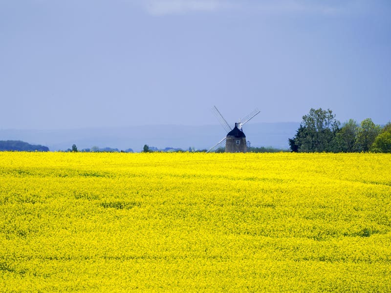
Torrential downpours have led to the UK recording more than its average rainfall for May but forecasters say it will be drier and warmer over the bank holiday weekend.
The UK has been gripped by persistent low pressure systems since the start of the month, with Wales and northern parts of England bearing the brunt of heavy rainfall and stormy conditions.
The Met Office said that up to Saturday the UK had seen 109.3mm of rainfall – 157% of the long-term average for May.
Are there any signs of ? #warmer and more ?️ settled #weather this week?
Find out in the latest week ahead forecast ? pic.twitter.com/5xAGbq8WiS
— Met Office (@metoffice) May 24, 2021
This makes it the 10th wettest May on record, according to Met Office figures.
In Wales 200.7mm of rain has fallen – double the monthly average – making it the wettest May in records dating back to 1862.
But meteorologist Dan Stroud said that the UK was unlikely to become the wettest May on record by surpassing the 131.7mm of rainfall in 1967.
Mr Stroud said that while Monday and Tuesday will be a mix of sunshine and showers, the rest of the week will be drier with temperatures rising to above 20C in some places.
“Whilst Wales has broken its record it’s doubtful we are going to break any more rainfall records.”
Mr Stroud said that the warmest day will be Thursday when temperatures could reach 20-21C in the South East of England.
Mr Stroud said: “The bank holiday weekend is likely cloudy with hints of sunshine.
“It’s generally cloudy with brighter spells but the best of the weather is going to be in the East and South East.
“We are into late May, early June, so there’s a fair amount of strength in the sun and it’s going to feel very pleasant in the sunshine.”
Heavy showers and ⛈️ #thunderstorms are affecting England and Wales, with #hail falling in places
Theses intense downpours may lead to some spray on the roads. Take care if you are making a journey in these areas this afternoon ?? pic.twitter.com/XYnfGMN4ij
— Met Office (@metoffice) May 24, 2021
But Mr Stroud warned that there will be further showers on Monday and Tuesday with the risk of thunder and hail in the south before the weather starts to improve.
He said that temperatures will be around 13-14C on Monday but will gradually get warmer throughout the week.
Mr Stroud added: “The story for today [Monday] is those showers being fairly frequent, with a risk of hail and thunder in the south and the trend tomorrow will be showers.”