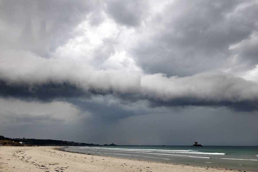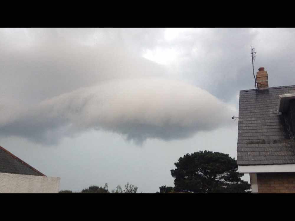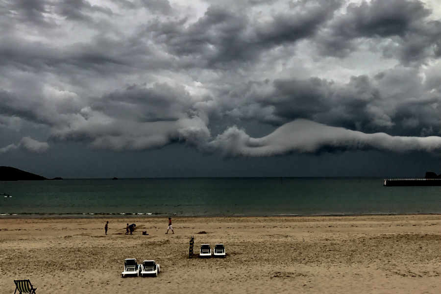
A number of Islanders have emailed in pictures of unusual cloud formations over Jersey as the storm moved up from Brittany.
We have even received one which looks a bit like a shark.
But it was the wavy band of low cloud which caught most people’s eyes.
According to Jersey Met, it was a roll cloud, or volutus, which are associated with thunderstorms and are a low, tube like cloud formation detached from the main cloud above.