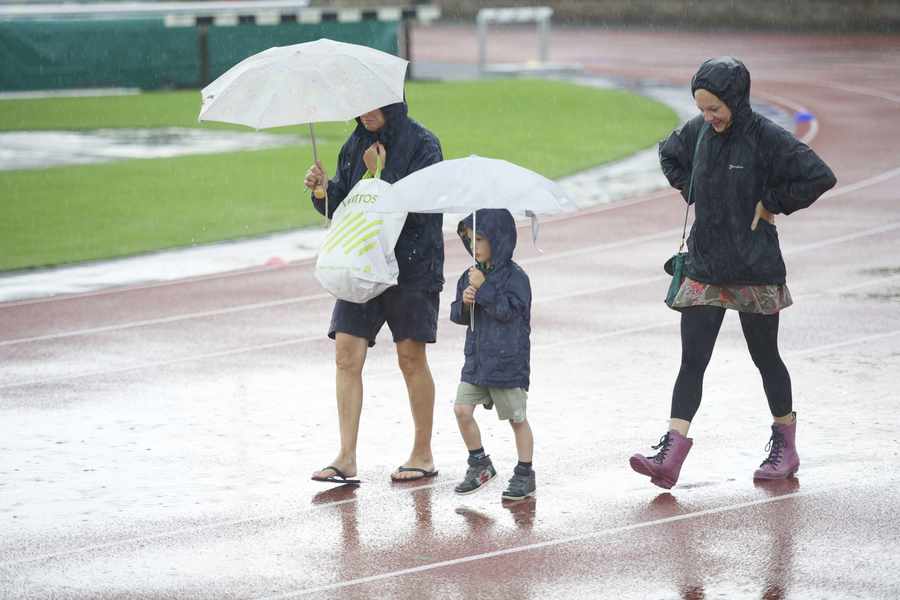
So it may come as little surprise that the season was officially one of the wettest on record.
Check the latest weather forecast here.[/breakout]
According to Jersey Met Office figures, the summer – June, July and August – was the sixth-wettest since records began in 1894, with a total of 269.5 mm of rain, well above the long-term average of 143.8 mm.
It was also the soggiest summer since 2007, when large parts of Britain – most famously Tewkesbury in Gloucestershire – suffered extensive flooding.
Meanwhile, temperatures were nothing out of the ordinary, with an average daily maximum temperature of 21.3°C compared to a long-term average of 21.2°C. And it was slightly duller than normal, with 760.1 hours of sunshine recorded over the three months, which is slightly below the long-term average of 764.5 hours.
Ultimately, it proved to be a season of contrasting halves, with summer arriving in style in June as the Island enjoyed a long spell of warm weather and recorded its hottest ever day for the month when the mercury soared to 33°C on the 30th.
Although the heat remained for the first part of July, the mercury dropped away during the final two weeks. And any hopes that August would see a return to summer were dashed, and the month was the third-wettest August on record and the wettest for 74 years, with a rainfall total of 163.4 mm.
The start of autumn, however, is looking more settled, with mainly dry weather forecast until at least the end of the weekend.
Jersey Met Office forecaster Sharon Merren said: ‘During the working week and into the first part of the weekend there is likely to be the odd shower around over the Channel and these could affect us at times. During the weekend we are expecting drier conditions as high pressure becomes more established.
‘Temperatures will be rather cool for the time of the year at 17°C or 18°C. The average for this time of year is 20°C.’